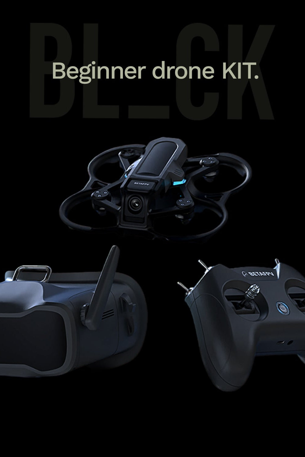
BL_CK Beginner drone KIT
Give customers details about the banner image(s) or content on the template.
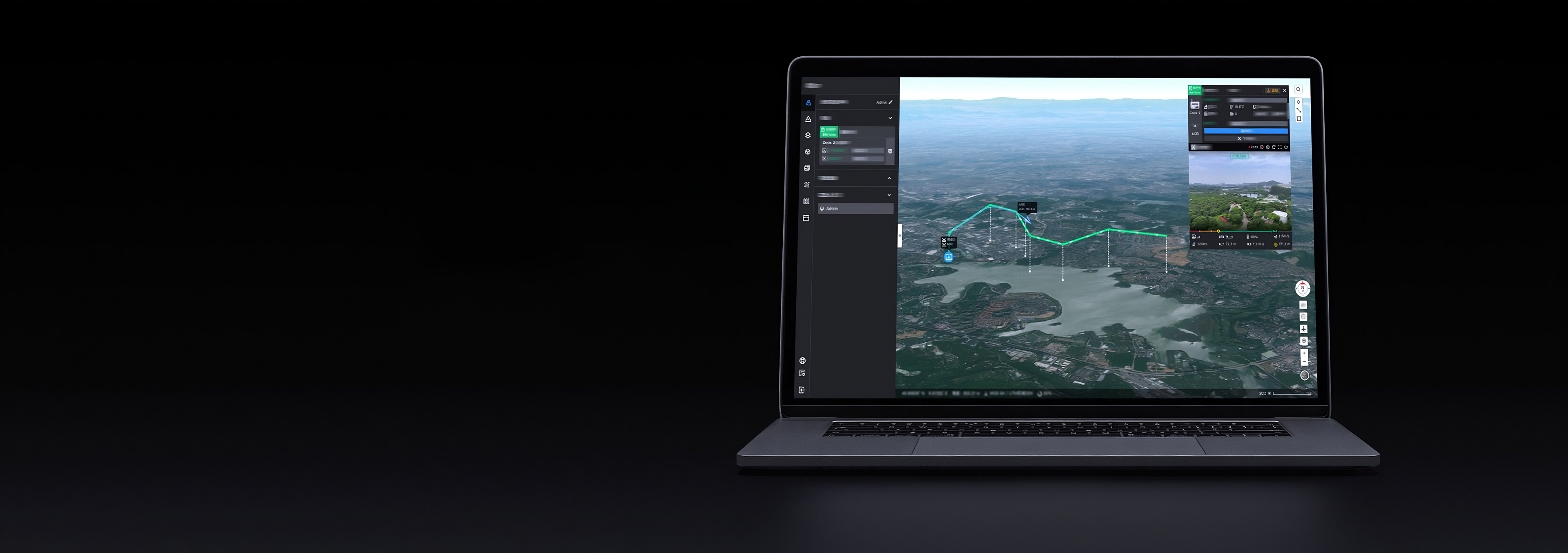
The BL_CK Systems is a next-generation, autonomous drone docking station designed to empower cities with advanced aerial capabilities. With automated take-off, landing, and recharging, it’s the perfect solution for efficient and sustainable urban management.
-

Lightweight & Portable.
-

Weather Resistant
-

10km Operational Range
-

Environmental Monitoring System
-

Cloud-Based Modeling
-

Automated flight routing
-

Private Deployment
-

Various Payload Support
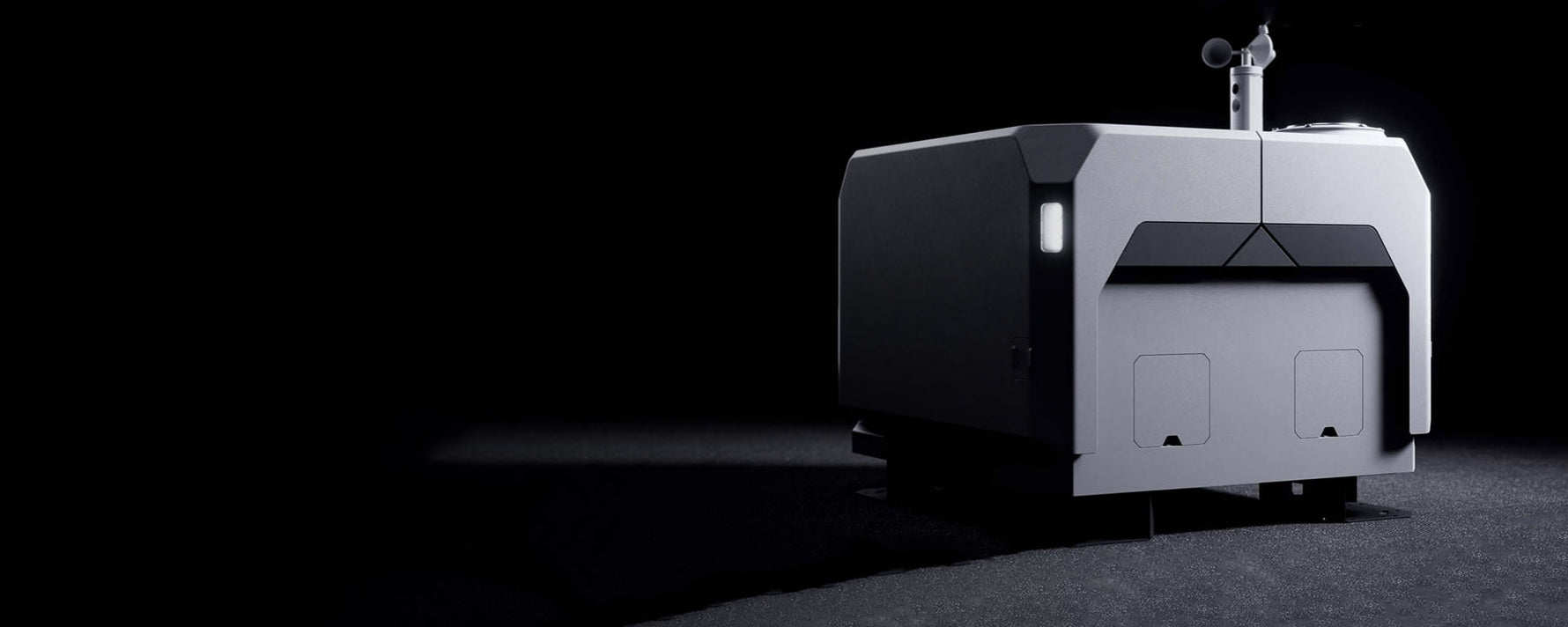
Deploy Instantly. Ready Anytime.
Applications.
-

LiDAR Surveys
Learn more -

Vertical inspections
Learn more -

Mining
Learn more -

Photogrammetry
Learn more -

Magnetic surveys
Learn more -

Powerline inspection
Learn more -

Live video surveys
Learn more -

Test counter-drone systems
Learn more
Built Tough. Ready Always.
-

Built-In Backup Battery
In the event of a power outage, the BL_CK Dock keeps running for over five hours with its built-in backup battery, ensuring enough time for the aircraft to safely return and land.
-

Six-Month Maintenance Interval
Thanks to its durability and reliability, the BL_CK Dock requires maintenance just once every six months, reducing human resource costs and maximizing uptime.
-

Abnormal Condition Notifications
In the event of task failures or emergencies, the BL_CK Dock instantly notifies operators via email, enabling quick diagnosis and resolution with detailed, real-time data.

High-Performance Aircraft Models.
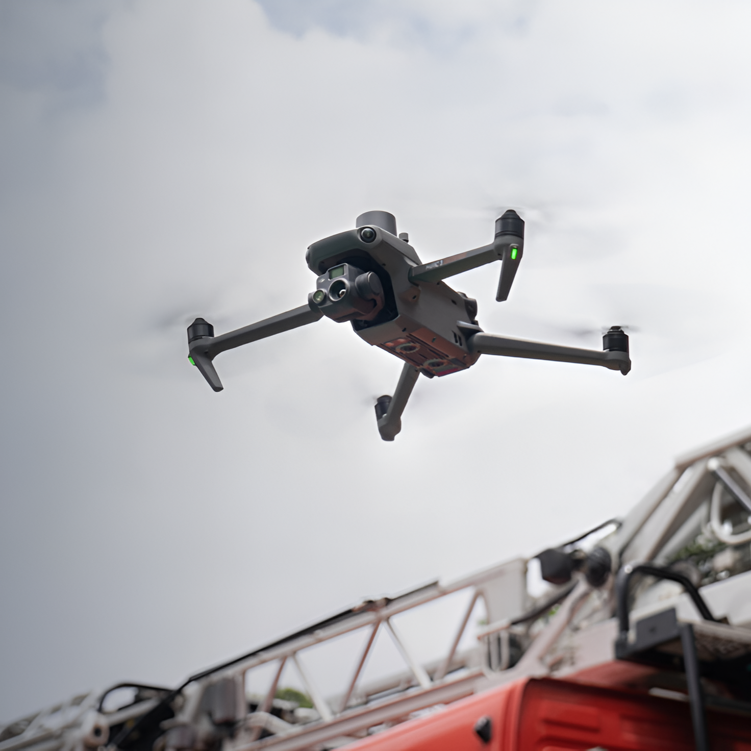
The BL_CK Dock is optimized for the latest Matrice 3D/3TD aircraft models. The Matrice 3D features a telephoto and wide-angle camera with a mechanical shutter, perfect for high-precision 1:500 mapping. The Matrice 3TD, equipped with a wide-angle, telephoto, and infrared camera, delivers both visible and thermal imaging, ideal for security and inspection missions.
Public Safety
BL_CK Drone Systems enhance response speed, lower costs, and empower smarter decisions—keeping personnel safe when it matters most.

Law Enforcement.
Provide real-time insights, safer operations, and cost savings—enabling officers to make smarter decisions and serve communities with greater efficiency.
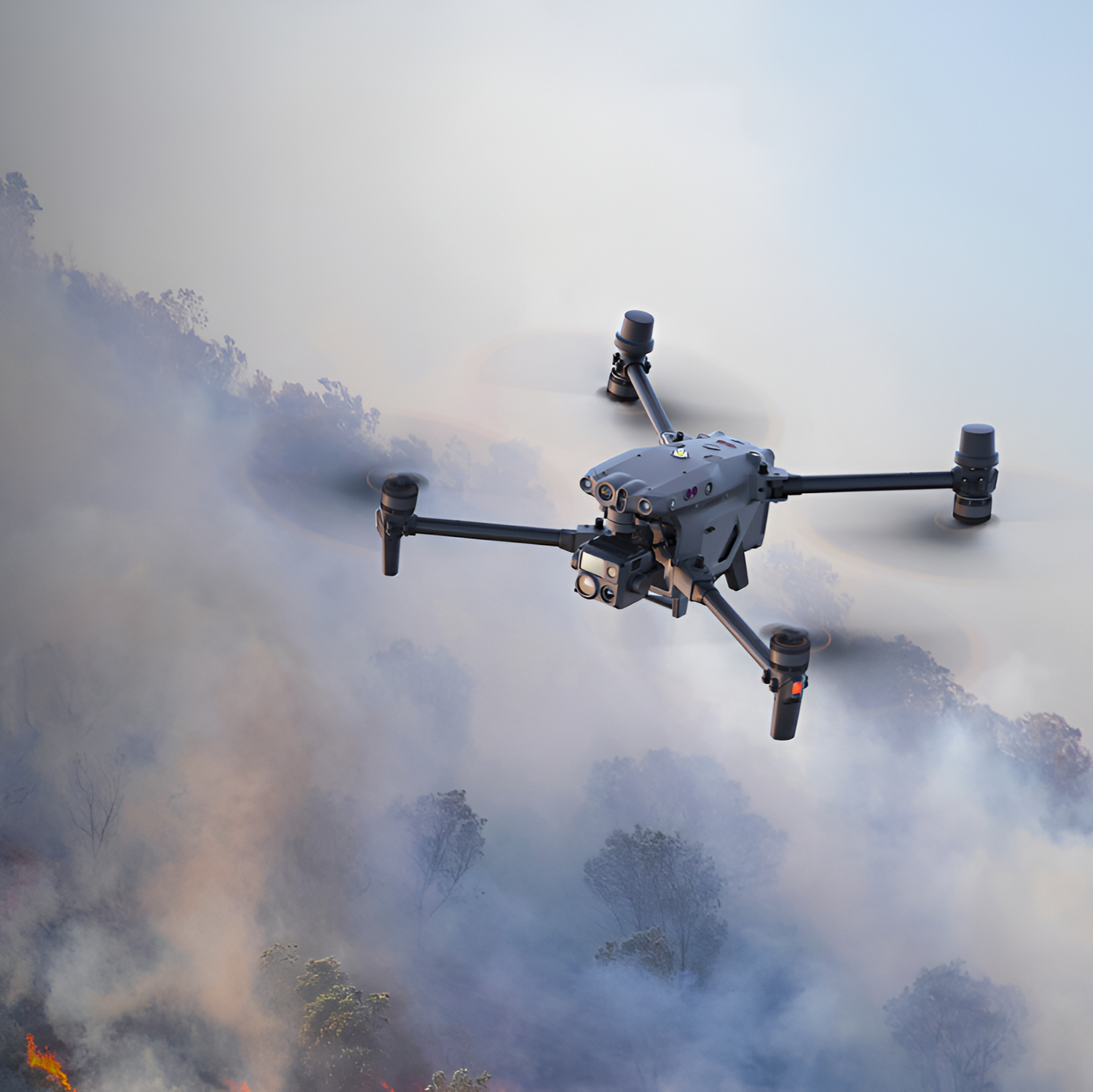
Firefighting.
Enhance firefighter safety and adaptability, using thermal imaging to identify hotspots in urban and wildfires, ensuring faster, more informed responses.
Search and Rescue.
Transforming search and rescue efforts, allowing first responders to quickly scan large areas and locate individuals in need with high-resolution visual and thermal sensors.

Private Security.
Deliver rapid security scans across large areas, identifying risks and providing ground teams with real-time, actionable insights.
